Virtual 360-degree tours with drone 360-degree panoramas
Drone 360-degree panoramas enhance virtual tours with a powerful aerial perspective. Buildings, sites, surroundings, and dimensions become instantly clear online.
Why a drone 360° panorama?
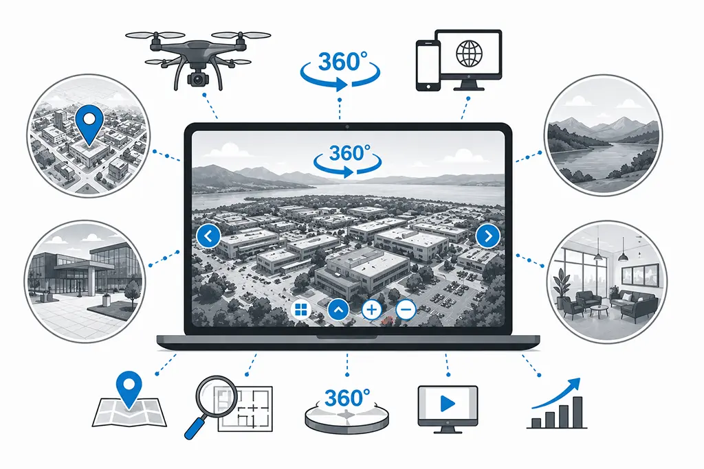
A drone 360-degree panorama expands the classic virtual tour with a bird’s-eye view. Visitors don’t just see individual rooms—they understand the location, size, and structure of a property. Especially for large sites, institutions, hotels, real estate, tourist destinations, or industrial facilities, this provides a significantly better overall overview.
- Complete overview of buildings, sites, and surroundings
- A strong visual entry into a virtual tour
- Combines aerial overview with ground-level details
- Better orientation for large facilities and complex locations
- Ideal for websites, Google Maps, presentations, and marketing
Examples from Practice
Brügger Furniture Store, Spiez
UPK Basel
GRITT Senior Center
EvoBus (Switzerland AG), Winterthur
What These Examples Show
Drone 360° panoramas are often used as the entry point to a virtual tour. Visitors start with an aerial overview and then move into interior spaces or detailed areas. This structure improves orientation, user guidance, and spatial understanding.
Especially for large sites with multiple buildings, outdoor areas, or complex structures, the aerial perspective is crucial. Location, access, surroundings, dimensions, and overall impact become visible in just a few seconds.
FAQ
What is a drone 360-degree panorama?
A drone 360-degree panorama is an interactive aerial image. It’s created from multiple individual photos stitched together into a complete 360-degree view.
Why is the aerial shot combined with a ground-level tour?
The aerial image provides the overview. The ground-level tour shows the details. Together, both perspectives create a complete digital experience.
Which properties are suitable for a drone panorama?
It’s especially suitable for large sites, building complexes, and facilities with outdoor areas. This includes real estate, industrial sites, schools, clinics, hotels, care centers, tourist destinations, and public institutions.
How is it integrated on the website?
The panoramas are provided as a link, iFrame, or integrated into an existing tour. Integration works similarly to embedding a video.
How high is the image quality?
The panoramas are created from multiple individual images and professionally post-processed. This results in high resolution with clear details and clean stitching.
Do you need permits for drone footage?
Required permits, flight clearances, and safety checks are reviewed and arranged before the shoot.
Virtual tour with a drone perspective for your project
Clever-Click creates professional 360-degree tours with drone panoramas for real estate, companies, institutions, tourism projects, industrial sites, care centers, schools, and hotels throughout Switzerland.
More references with drone 360-degree panoramas
You can find more Clever-Click projects with drone 360-degree panoramas and virtual tours in the full reference overview.